
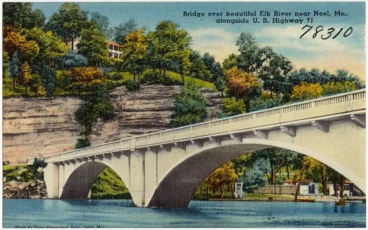
River
What the Elk is doing right now.
Live USGS stage from the gage at MO-59 in Noel, plus the NWS Tiff City forecast, for the Elk River in McDonald County. Float trips, campgrounds, public accesses, and safety — every phone and distance was re-fetched from each operator's own website.
Live river data
The Elk drains 851 square miles at Tiff City. The live stage below is USGS 07188925 — the gage on the Elk at MO-59 in Noel (drainage 801 sq mi, stage only). The NWS forecast point is TIFM7 at Tiff City, a separate gage on a separate datum; the old Tiff City USGS gage (07189000) stopped publishing 2026-04-27. The numbers below come straight from the live feeds.
USGS 07188925 — Elk River at MO-59, Noel, Mo. The gage on the Elk in Noel itself. Stage only (no discharge); drainage area 801 square miles; gage datum 796.22 ft NAVD88. USGS monitoring location.
Gage currently dark. USGS 07188925 (Noel, MO-59) has not posted a sample in the past 2 hours, and the NWS reports the Tiff City observation as not current. The NWS forecast hydrograph (next 24 h) still updates — confirm with the outfitter before you put in. Do not float on a number this page guessed.
Snapshot fallback (checked 1:15 PM CDT Tue Oct 27): the USGS gage at MO-59 in Noel reads 5.28 ft, holding between 5.28 and 5.29 ft over the last hour — the four most recent quarter-hour samples read 5.28, 5.29, 5.28, 5.28 ft, and the recent six hours have held a 5.28–5.29 ft band. The reading is provisional and subject to revision. The NWS forecast for Tiff City is about 2.7 ft, with no flooding expected; the Tiff City sensor is not reporting current data. Confirm with your outfitter before you put in.
Fetched 2:16 PM CDT, 27 October 2026 from waterservices.usgs.gov (NWIS IV, public domain) and api.water.noaa.gov (NWPS, public domain). Provisional; subject to revision. When the city or a county emergency manager publishes an evacuation notice, this page cites it.
Public river accesses
MDC's Elk River watershed inventory and the agency place pages are the source of truth for public accesses. Private campgrounds are not MDC accesses — they are listed in the outfitters section below.
-
Mount Shira Access
26 acres, MDC. From Noel, take Highway 59 north 2 miles. Large parking lot and a gravel boat launch on the Elk River. MDC phone (417) 895-6880. mdc.mo.gov/discover-nature/places/mount-shira-access.
-
Cowskin Access
40.8 acres, MDC. From Southwest City, take Highway 43 north 8 miles. Concrete boat ramp. MDC phone (417) 895-6880. NWS flood-impact bulletins list this as the "Cowskin River Floating Public Access Area on the west side of Highway 43." mdc.mo.gov/discover-nature/places/cowskin-access.
-
City of Pineville Elk River Access
1 acre, jointly managed by MDC and the city of Pineville. From McDonald County on U.S. 71, take Route H east to Business 71, north across the Elk River, Route W east, Rhine Road south. City phone (417) 451-4158. mdc.mo.gov/discover-nature/places/city-pineville-elk-river-access.
-
Deep Ford Access
42.1 acres on Big Sugar Creek, not the Elk main stem. Parking lot and a gravel launch ramp for canoes or kayaks. MDC phone (417) 895-6880. mdc.mo.gov/discover-nature/places/deep-ford-access.
Private take-outs and the public MDC accesses above are separate things, and this site has not verified any of the private ones — not with an outfitter and not with the city. Do not assume a float ends at Noel City Park or anywhere else. Each outfitter card under Float trips and campgrounds states that operator's own float distance from its own site; ask where you will be taken out before you put in.
Fetched 13–15 September 2026 from mdc.mo.gov. The MDC Elk River watershed inventory page is the parent document; each access has its own MDC place page. Re-fetch monthly.
Float trips and campgrounds
Outfitter phones, float distances, and season windows below were re-fetched 21 October 2026 from each operator's own site — all ten answered HTTP 200 to UA noel-lane-verify/1.0. The Elk River Floats family (Wayside, Kozy Kamp, Eagles Nest, Trestle Park) operates as one fleet across four campgrounds. The 2026 float season is closed: Two Sons’ posted "May – September" window has ended; Lazy Days’ posted "1 May – 24 September" window has ended. Big Elk is still in its March–end-of-October camping window, which closes 31 October 2026. Call each outfitter to confirm 2027 dates and any off-season cabins.
-
Elk River Floats
Hub for four campgrounds (Wayside, Kozy Kamp, Eagles Nest, Trestle Park). Noel River Float = 6 miles, open all season. Rafts $160–$500, kayaks $60–$100, canoes $110–$120, tubes $45–$50. Shuttle, day pass, and parking included. 417-475-3230. elkriverfloats.com.
-
Wayside Campground
201 Minnow Springs Ave, Noel, MO 64854 (Highways 59 & 90). Gravel-bar peninsula campground. End point for the 6-mile Noel River Float from Trestle Park in Ginger Blue. Class I–II. 417-475-3230. waysidecamp.com.
-
Trestle Park / Elk River Campground
435 Elk Springs Road, Noel, MO 64854 (Ginger Blue, between Noel and Pineville). 30 acres; launch point for the 6-mile Noel River Float, end point for the seasonal 6-mile Trestle Bridge Float. 417-475-3561. trestlepark.com.
-
Eagles Nest Camp & Canoe
53 Eagle Nest Ln, Noel, MO 64854 (Ginger Blue, across from Trestle Park). 40-acre shaded family campground with two gravel-bar swim beaches. 417-475-3326. eaglesnestcampcanoe.com.
-
Kozy Kamp
71 Elk River Road, Pineville, MO 64856. 10-acre grass campground; launch point for the seasonal 6-mile Trestle Bridge Float. 417-223-4586. kozykamp.com.
-
River Ranch Resort
101 River Road, Noel, MO 64854. 5- and 8-mile Elk floats plus a 1-mile after-work float. Glow Float ran Memorial Day–Labor Day 2026 (window closed 1 September 2026). Float trips out of season until next season — call the resort for cabin, glamping, or RV availability. 417-475-6121. riverranchresort.com.
-
Shady Beach Campground
14332 State Hwy 59, Noel, MO 64854. 4- and 8-mile floats; cabins, RV, tent. Memorial Day–Labor Day float-to-camp rule is closed (closed since 1 September 2026). Off-season for floats; call the campground about lodging. 417-475-6483. shadybeach.com.
-
Two Sons Floats & Camping
15806 Hwy 59N, Noel, MO 64854. Operator site re-fetched 21 October 2026 still reads “Open May – September” — that posted window has ended, so 2026 floats are out of season. 4- or 8-mile floats resume next May; call about off-season cabins or 2027 bookings. 417-475-4774. twosonsfloats.com.
-
Lazy Days Campground
Just outside Noel, between Noel and Pineville. 7.5-mile Elk River float to Noel City Park; also offers Big Sugar and Little Sugar floats. Cabins, RV, tent. Float season closed since 24 September 2026 (re-fetched 21 October 2026: the operator’s posted window 1 May – 24 September has ended). Cabins remain year-round; confirm hours and availability with the operator. 417-223-3498. lazydayscampground.net.
-
Big Elk Floats, Camping & Lodging
5029 South Business Highway 71, Pineville, MO 64856. Open March through end of October — re-fetched 21 October 2026 the operator site still reads “Open Camping Available March thru end of October” with Mon–Sun posted hours. The 2026 camping window closes 31 October 2026 per the operator page. Canoes & kayaks on Elk River & Big Sugar Creek. 417-355-6037 (call) / 417-355-6076 (text). bigelkfloatsandcamping.com.
Fetched 21 October 2026 from the Elk River Floats family sites; all ten operator sites listed above (Elk River Floats, Wayside, Trestle Park, Eagles Nest, Kozy Kamp, River Ranch, Shady Beach, Two Sons, Lazy Days, Big Elk) re-fetched 21 October 2026 (10/10 answered HTTP 200 to UA noel-lane-verify/1.0 this cycle). Phones appear exactly as printed by the operator (with or without hyphens). This page does not copy rates — they change every year.
Safety before you launch
-
Wear a PFD.
Missouri law requires a U.S. Coast Guard–approved life jacket on every boat for every person. The Elk is Class I–II in this corridor; even at low water, an ankle entrapment on a submerged rock can pin a swimmer.
-
Check the live gage, then the forecast.
The live stage is USGS 07188925 at MO-59 in Noel; the NWS forecast is TIFM7 at Tiff City — two gages, two datums, never compare the numbers. If USGS has not posted a sample in the past 2 hours, treat the river as unknown — not as fine. NWS NWPS forecast hydrographs extend out 24 hours; a forecast crest is a hard signal to wait.
-
Check the active alert bar at the top of this page.
The alerts bar above the masthead carries the current NWS county-zone (MOC119) feed. Flash flood warnings override everything on this site.
-
Missouri Revised Statutes 537.327.
Under Missouri law, an outfitter is not liable for an injury to or the death of a participant in paddle-sport activities resulting from the inherent risks of paddle-sport activities. Every operator's site carries this notice.
-
Call the outfitter, not this page.
Rates, shuttle times, and whether a float is required to camp change every season. The phone for each operator is on their site and in the outfitters section above.
Safety copy is drawn from the operators' own waiver notices (RSMO 537.327) and the live feeds above. The McDonald County emergency-management office publishes flood-evacuation routes; when the city or county posts one, it will be cited here.